Recent Publications of William V. Davidson
Honduran Studies: Reference Works
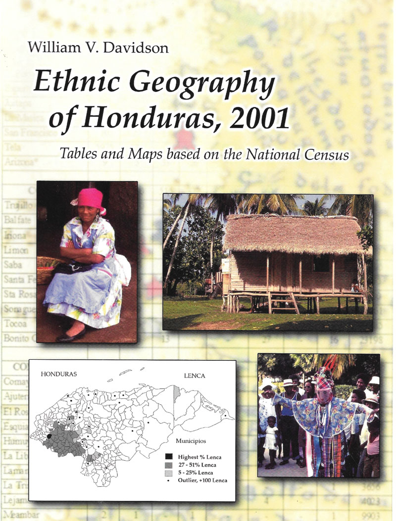
Ethnic Geography of Honduras, 2001 (2011)
In 2001, for the first time, Honduras attempted to report ethnicity at the most detailed geographical level. For the first time, the census posed the question (F5): “A qué grupo poblacional pertenece?” and residents were offered nine choices. Eight well-known ethnic groups: Lenca, Misquito, Garífuna, Chortí, Negro Inglés, Tolupán, Pech, and Tawahka were listed, along with “Otro,” the “umbrella” category, which referred primarily to the Ladino majority.
The purpose of this document is to focus attention on the modern geographical dimension of ethnicity in Honduras. To see quickly the locations, sizes, and proportions of minority population at all regional scales, census information has been reorganized into maps and tables at the national, department, municipio, and local levels.
 |
Download PDF of “Ethnic Geography of Honduras, 2001” by William V. Davidson 26.5 MB |
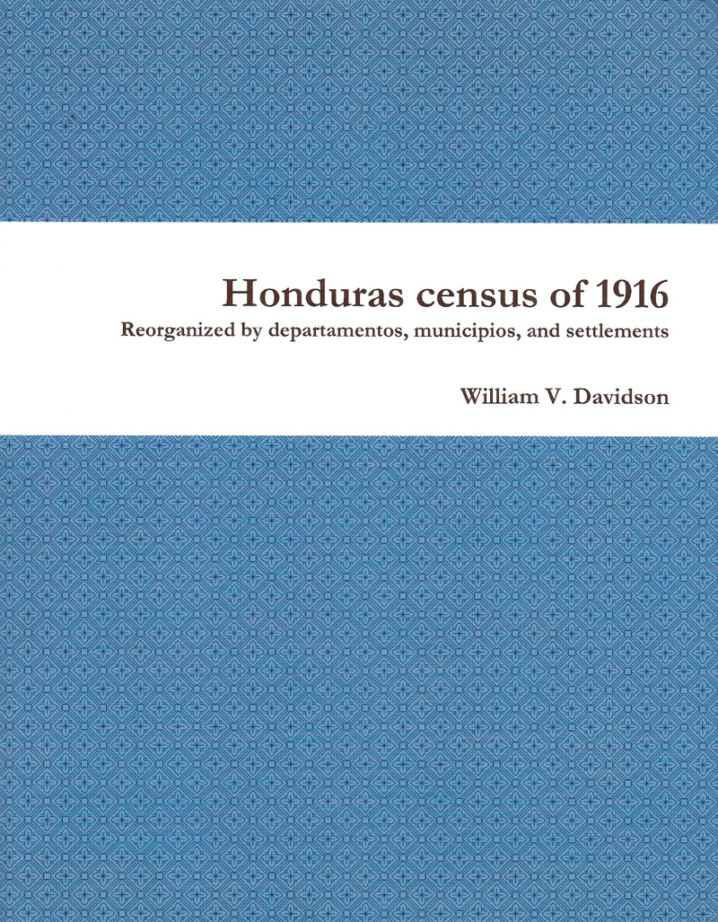
Honduras Census of 1916, reorganized by departments, municipios, and settlements (2012)
The document presented here is the third census of Honduras reorganized by the author and sponsored by the Honduran Academy of Geography and History. The first, for 1895, was produced from manuscripts found in the Honduran National Archives in 1994 (Davidson 2002). The second, for the national census of 2001, emphasized ethnic populations and was derived from the on-line records of the INEH (Instituto Nacional Estadística de Honduras) (Davidson 2011a, 2011b). The current compilation is from the national census of 1916 and was produced from the rare copy of the census housed in the Center for Research Libraries in Chicago (Honduras 1918).
|
Download PDF of “Honduras Census of 1916” by William V. Davidson 11.1 MB |
Honduras: An Atlas of Historical Maps (2006)
|
Download PDF of “Honduras: An Atlas of Historical Maps” by William V. Davidson 66.2 MB |
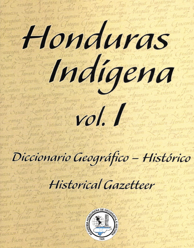
Honduras Indígena, vol I: Historical Gazetteer of Honduras (updated, October 2019)
This volume is a reference work to aid the place-specific study of the minority populations of Honduras. The primary intent is to list the locations occupied by the six well-documented aboriginal people, with citations that direct readers to sources of information chronologically. Groups include the Chortí Maya, Lenca, Mískitu, Pech, Tawahka, and Torrupán, plus the Garífuna-speakers, a more recent migrant community. The places in this publication, over 7,000, include many alternate spellings of the same location. The attached bibliography includes a list of maps that, for the most part, was printed in the atlas of historical maps by Davidson (2006).
|
Download PDF of “Honduras Indígena, vol I” by William V. Davidson 7.2 MB |
Estimating the Population of Honduras, 1821: Evidence from the Independence Census (Updated June 2023)
During the first three months of 1821, while politicians were progressing toward Central American Independence, a census was taken in Honduras. The counts were gathered first by populated place, then, complied by curato and partido (department level). Unfortunately, the known archival manuscripts account for only 40% of the curatos. Therefore, while we will never know the total population and ethnic composition of Honduras at Independence, we can make a gross estimation based on interpolations from previous and later censuses.
|
Download PDF of “Estimating the Population of Honduras, 1821: Evidence from the Independence Census” by William V. Davidson 1013.3 KB |
The First Ethno-Linguistic Census of Honduras, 1895 (2022)
The first ethno-linguistic census of Honduras, 1895: from original manuscripts in the Archivo Nacional de Honduras, with brief comparative notes from the 1887 census.
|
Download PDF of “The First Ethno-Linguistic Census of Honduras, 1895 (2022)” by William V. Davidson 3.3 MB |
Honduras Studies: Recent Works
“Ethnogeography of the Patuca River, 1895: Settlements, Ethnicity, Migration, and Demography” (October 2019)
Among the several un-cataloged and difficult-to-locate documents housed in the national archives of Honduras in Tegucigalpa is a 13-page census manuscript entitled “Pliegos Complementarios del Padrón de la Mosquitia - varios caserios y aldeas con 364 [sic] habitantes.” At the time “La Mosquitia” was a part of the Department of Colón, one of the 15 major subdivisions of Honduras (Fiallos 1980). The document is not dated, but for two reasons it is obvious that it is an isolated part of the unpublished third national census of 1895: 1) the questions posed and ordered in the manuscript are identical to the printed questionnaires used in the census of December 26, 1895 (Davidson 2002: 2a) and 2) the ten settlements reported in the manuscript are not found within the collection of other 1895 census records for La Mosquitia and Colón (Davidson 2002: 1). The incorrect number of inhabitants given in the title is due to a simple arithmetic error -- 339 names, not 364, are listed. As one indication of how remarkable this census is note that the previous census of 1887, and the later ones of 1910 and 1916, did not include six of these villages (Aguasdaban, Crata, Gualpatanta, Pau, Pimienta, Wankibila).
This census is important beyond the new basic settlement/population information. Within are indications of widespread regional migrations and demographic characteristics of the different culture groups. For this period, in an out-of-the–way area of Honduras, such insights are rare.
|
Download PDF of “Ethnogeography of the Patuca River, 1895” by William V. Davidson 2.6 MB |
Ethnogeography and Ethnohistory of Honduras, An Anthology, English edition (10 of 22 papers finished) (2019 –
|
Download PDF of “Historical Geography of the Bay Islands, Honduras” by William V. Davidson 214.6 KB |
|
Download PDF of “Honduras” by William V. Davidson 292.5 KB |
|
Download PDF of “Honduras: Historical Profiles of Major Cities” by William V. Davidson 1.1 MB |
|
Download PDF of “Not Always Oriented: Honduran Plaza-Church Locational
Relations” by Benjamin F. Tillman and William V. Davidson 14.8 MB |
|
Download PDF of “Dual Nature of Internal Migration in Honduras, Central America” by James R. Samson, Scott A. Brady, and William V. Davidson 1.1 MB |
|
Download PDF of “Wandering Toponyms in Honduras: The Case of Sula” by William V. Davidson 859.8 KB |
|
Download PDF of “On The Tegucigalpa/ 1.2 MB |
|
Download PDF of “The Black Christs of Honduras” by William V. Davidson 17.1 MB |
|
Download PDF of “Geography of Minority Populations in Central America” by William V. Davidson 396.8 KB |
|
Download PDF of “Mapping the Distribution of Indians in Central America” by William V. Davidson and Melanie A. Counce 392.6 KB |
|
Download PDF of “Ethno-historical Geography of the Honduran Garífuna Enclave
at Pearl Lagoon, Nicaragua” by William V. Davidson 667.2 KB |
|
Download PDF of “The Garífuna in Central America:
Ethnohistorical and Geographical Foundations” by William V. Davidson 16.8 MB |
|
Download PDF of “Coastal Imperative Lost” by William V. Davidson 327.1 KB |
|
Download PDF of “Padre Subirana and the Indian Land Grants, Mid-19th Century,
Honduras” by William V. Davidson 785.2 KB |
|
Download PDF of “Lenca Geography of the 16th and 17th Centuries” by William V. Davidson 710.8 KB |
|
Download PDF of “Delimitación de la región habitada por los sumos taguacas
de Honduras” by William V. Davidson and Fernando Cruz S. 603.0 KB |
|
Download PDF of “Geographical Perspectives on Spanish-Pech (Paya) Indian
Relationships, Northeast Honduras, Sixteenth Century” by William V. Davidson 7.8 MB |
|
Download PDF of “Etnogeografía Histórica y la Arqueología de Honduras: un
avance preliminar de la investigación” by William V. Davidson 522.0 KB |
|
Download PDF of “Jucap: A New Linguistic Region in Colonial Honduras” by William V. Davidson 618.8 KB |
|
Download PDF of “Indigenous Settlement Relocations in Central America” by William V. Davidson 358.9 KB |
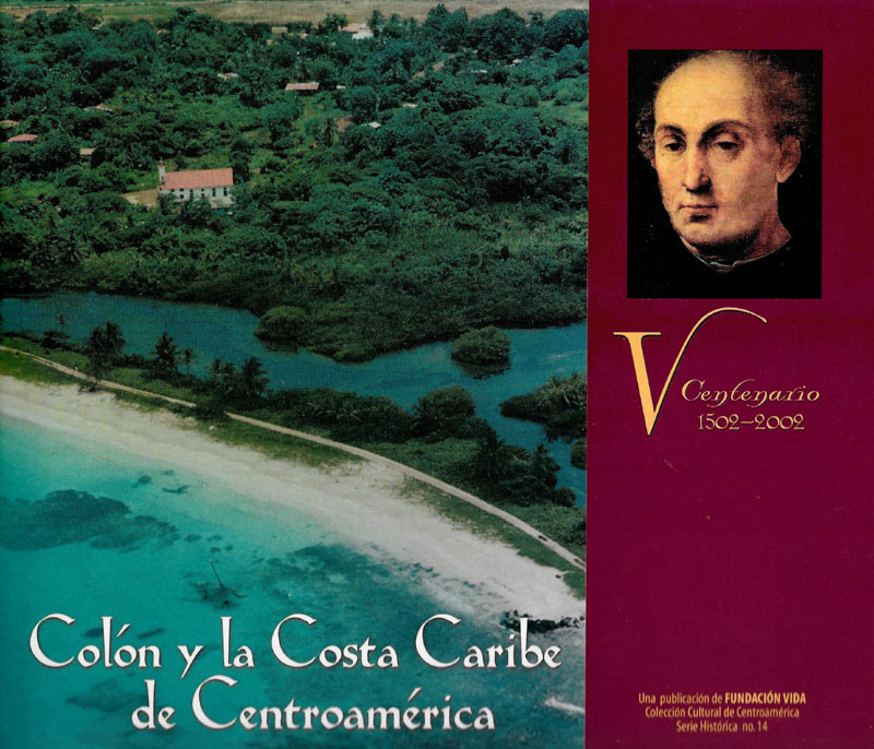
“La Costa Caribe de Honduras, su geografía, historia y etnología” en Colón y la Costa Caribe de Centroamérica, V Centenario, 1502-2002, pp. 61-106. Editado por Jaime Incer B. Managua: Fundación VIDA.
Algunos estudiosos han sugerido que la naturaleza, es decir, la geografía física, determina los parámetros iniciales para el desenvolvimiento de los asuntos humanos. La naturaleza establece el escenario en el cual se desarrolla la historia de la humanidad. El entorno en que se desarrollaron las aventuras de Colón en 1502, a lo largo de las áreas costeras de la moderna Honduras, jugó sin ninguna duda un rol importante en las actividades de los primeros españoles que alcanzaron la tierra firme de Norteamérica.
Some scholars have suggested that nature, i.e. physical geography, determines the initial parameters for the development of human affairs. Nature sets the stage in which human history unfolds. The environment in which Columbus' adventures took place in 1502, along the coastal areas of modern Honduras, undoubtedly played an important role in the activities of the first Spaniards to reach the mainland of North America.
|
Download PDF of “La Costa Caribe de Honduras” by William V. Davidson 6.1 MB |
The Lost Towns of Honduras (2017)
Eight colonial places that dropped off the map, 1530-1845, with a critical recapitulation of the mythical Ciudad Blanca of La Mosquitia. In recognition of the 100th anniversary of the last of the “great lost cities”… that never was. |
Download PDF of “The Lost Towns of Honduras” by William V. Davidson 10.4 MB |
Los Cristos Negros de Centroamérica, el señor de Esquipulas y otros, con énfasis en Honduras y Nicaragua (Spanish edition, 2012)
|
Download PDF of “Los Cristos Negros de Centroamérica Davidson” by William V. Davidson 11.0 MB |
The Black Christs of Central America, The Lord de Esquipulas and others (English edition, forthcoming)
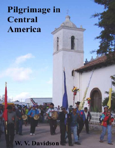
Pilgrimage in Central America (December 2019)
Pilgrimage in Central America, large and small: Esquipulas in Guatemala and Guancascos in Honduras. |
Download PDF of “Pilgrimage in Central America (December 2019)” by William V. Davidson 1.8 MB |
The Geography of Smallpox in Western Honduras, 1781 (June 2023)
The story of a little-known viral outbreak that occurred in 18th century Honduras. |
Download PDF of “The Geography of Smallpox in Western Honduras, 1781 (June 2023)” by William V. Davidson 835.0 KB |
Ceiba Chronicles
The Yaxché-ob of Cozumel, 2008 (2010)
|
Download PDF of “The Yaxché-ob of Cozumel” by William V. Davidson 2.7 MB |
 The “Kapoks” of Key West, Florida, 2018 (May 2018)
A brief reconnaissance of Key West in April 2018 uncovered eight ceiba trees in six sites. Locally, the Ceiba pentandra tree is known by its Indonesian name, “kapok.” Seven of the trees seem to be about 100 years old; only one seems to be of private origins. Given the history of the Key as a military stronghold, hosting navy and army bases during the period of World War II (and before), it might be reasonable to expect the ceiba to be called “kapok” because of the U. S. military’s use of the term for the silk-cotton fibers surrounding ceiba seeds that were used in the water-repellant life jackets used by the military.
|
Download PDF of “The Kapoks of Key West, Florida, 2018” by William V. Davidson 2.0 MB |
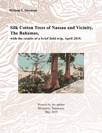
Silk Cotton Trees of Nassau and Vicinity, The Bahamas, with the results of a brief field trip, April 2019 (June 2019)
Silk cotton trees (Ceiba pentandra) are a major, but often overlooked, component of the cultural landscape of New Providence Island, in the Bahamas. These trees represent a rich tradition, particularly in areas occupied by Afro-Bahamians after Emancipation in the nineteenth century. One particularly notable tree — a large, ancient silk cotton surrounded by public buildings in the center of Nassau — became famous as probably the most illustrated and photographed ceiba in the world before its demise in the mid-1900s.
Geographer William Davidson and his wife Sharon, who have studied extensively the ceibas of Central America and Yucatán, report herein their April 2019 field reconnaissance of Nassau and its environs, including the history and legacy of the iconic Nassua silk cotton tree.
|
Download PDF of “Silk Cotton Trees of Nassau and Vicinity” by William V. Davidson 2.5 MB |
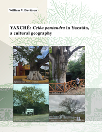
Yaxché: Ceiba pentandra in Yucatán, a Cultural Geography (September 2019)
Based on landscape observations, this book explains the distribution and significance of yaxché-ob (ceibas, Ceiba pentandra) in the State of Yucatán, México. More than 2,500 ceibas can be found in a wide range of settings, including villages and cities, at churches and cemeteries, at cenotes and haciendas, along highways and at rancho entrances, and even at modern tourism facilities. However, in the ceiba landscapes of a few special places — Yalcón, Xocén, Maní, Muna, Cholul — evidence of the ancient Maya geographical cosmos can still be seen.
|
Download PDF of “Yaxché: Ceiba pentandra in Yucatán” by William V. Davidson 5.6 MB |
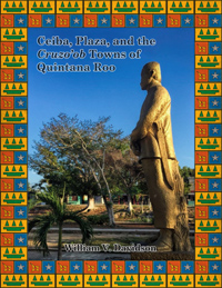
Ceiba, Plaza, and Cruzo’ob Towns, Quintana Roo, Mexico: A Settlement Geography (October 2020)
Based primarily on field observations of almost 2,900 ceibas in Quintana Roo, this study documents geographical patterns of the tree 1) in settlements and along highways; 2) as part of the modern plaza landscape; and 3) as diagnostic markers in the 45 settlements occupied by the cruzo’ob, the followers of the Holy Talking Cross of the Caste War (1847-1901). Special attention is given to the five ceremonial shrine centers. In Caribbean Yucatán, today overwhelmed by international tourism, ceibas are now less likely to be planted in traditional locations and are instead planted to appeal to visitors seeking ephemeral reflections of ancient Maya heritage. |
Download PDF of “Ceiba, Plaza, and Cruzo’ob Towns, Quintana Roo, Mexico: A Settlement Geography” by William V. Davidson 46.0 MB |
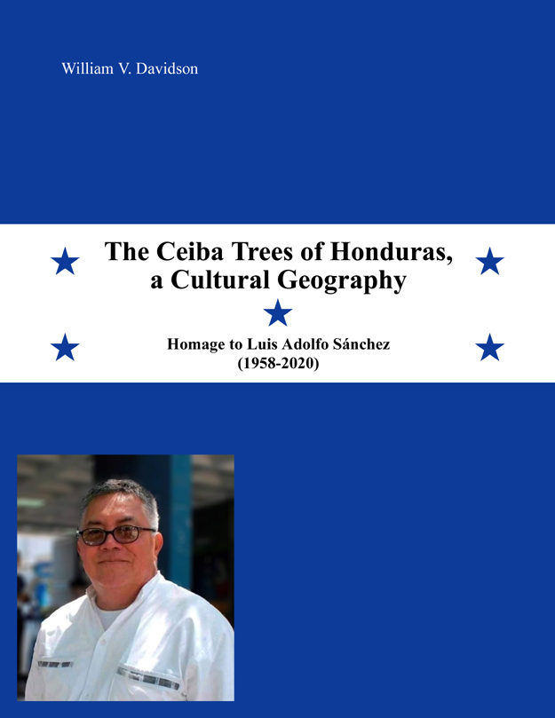
The Ceiba Trees of Honduras, a Cultural Geography: Homage to Luis Adolfo Sánchez 1958-2020 (revised to August 2021)
Davidson and Sánchez document the locations of more than 2,100 ceibas planted in cultural patterns in Honduras. They found the trees at sacred sites, in various transportation contexts, in institutional settings, in parks, and private trees spared by man. Almost 500 photographs illustrate. They found Tegucigalpa to be “The Ceiba Capital of Central America,” La Ceiba, Atlántida, to be the most-populated “Ceiba” settlement on Earth, and Copán Ruins to be the most-meaningful “ceiba” site in the Maya World. |
Download PDF of “The Ceiba Trees of Honduras, a Cultural Geography” by William V. Davidson 39.5 MB |
Kapok Trees of Florida by Klaus J. Meyer-Arendt (2024)
Ceiba tree research by Dr. Davidson's colleague Klaus J. Meyer-Arendt, Professor Emeritus, University of West Florida, 2024. |
Download “Kapok Trees of Florida” by Klaus J. Meyer-Arendt 231.1 MB |
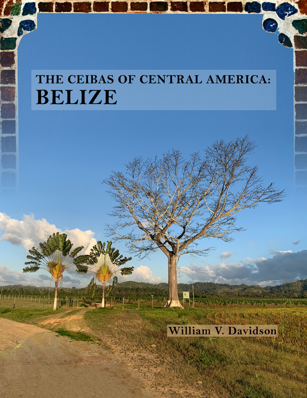
The Ceibas of Central America: Belize (2022)
Ceiba pentandra, in Belize, is usually known as “cotton tree.” Based primarily on landscape observations in 2018, the author found over 300 cotton trees located in cultural context. About one-third of the trees are in tourism settings, such as in the “jungle lodges” that host international visitors. Another third appears to be naturally-propagated ceibas spared in pastures and agricultural fields. Concentrations of ceibas can be seen in Orange Walk Town, Belmopan, Spanish Lookout, and Central Farm. |
Download PDF of “The Ceibas of Central America: Belize” by William V. Davidson 17.2 MB |
The Ceibas of Central America: Managua, Nicaragua (2022)
Ceibas are deep in the ethos of Nicaragua. Ceiba toponyms cover the country – named for fincas, aldeas and caserios, streams and hills. No less than 140 places, named for the tree, can be found on the 1/50,000 maps of the Instituto Geográfico Nacional. The trees have been strategically planted along highways, often marking bridges. This publication is the result of a 2010 survey in Managua. |
Download PDF of “The Ceibas of Central America: Managua, Nicaragua” by William V. Davidson 6.7 MB |
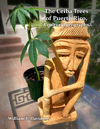
The Ceiba Trees of Puerto Rico, A cultural geography.
Though the ceiba was apparently not a prominent feature in the ancient and colonial culture history of Puerto Rico, during the last century or so, the tree has increasingly appeared in painting, folklore, and literature, usually expressed within Hispanic, Taino, or Afro-Caribbean traditions. The Boriqua, in general, claim the ceiba as their national tree. In this study, geographer William Davidson, using photography from iNaturalist and Google Earth Street View, and without on-site landscape observations, located over 500 ceibas planted in cultural context in Puerto Rico. |
Download PDF of “The Ceiba Trees of Puerto Rico, A cultural geography” by William V. Davidson 54.4 MB |
Field Trip in Search of Ceibas in Puerto Rico (July and December 2023)
A July 2023 trip to confirm the location of problematic ceibas found using iNaturalist and Google Earth Street View and to seek additional trees. Updated December 2023 with additional details. |
Download PDF of “Field Trip in Search of Ceibas in Puerto Rico” by William V. Davidson 102.6 MB |
The Cotton Trees (ceiba, kapok) of Grand Cayman Island (March 2024)
A March 2024 trip to confirm the location of ceibas found using iNaturalist and Google Earth Street View and to seek additional trees. |
Download PDF of “The Cotton Trees (ceiba, kapok) of Grand Cayman Island” by William V. Davidson 8.3 MB |

Ceibas of St. Eustatius, Dutch West Indies by Craig S. Revels (2025)
Poster of Ceiba tree research by Dr. Davidson's colleague Craig S. Revels. “Searching for Ceibas in the Lesser Antilles”, Department of Geography, Central Washington University, Ellensburg, Washington, from the National A.A.G. Meeting, Detroit, 2025. |
Download PDF of “Ceibas of St. Eustatius, Dutch West Indies” by Craig S. Revels 16.5 MB |